Coast to Coast Through the Lake District
Across the Lake District
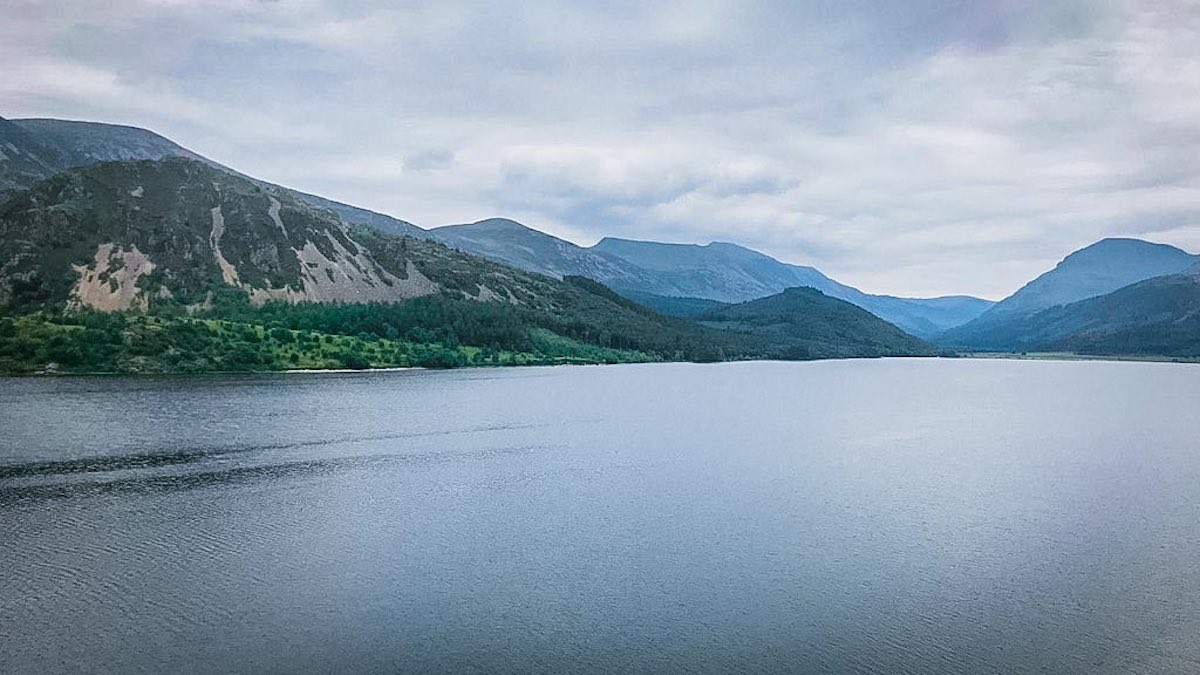
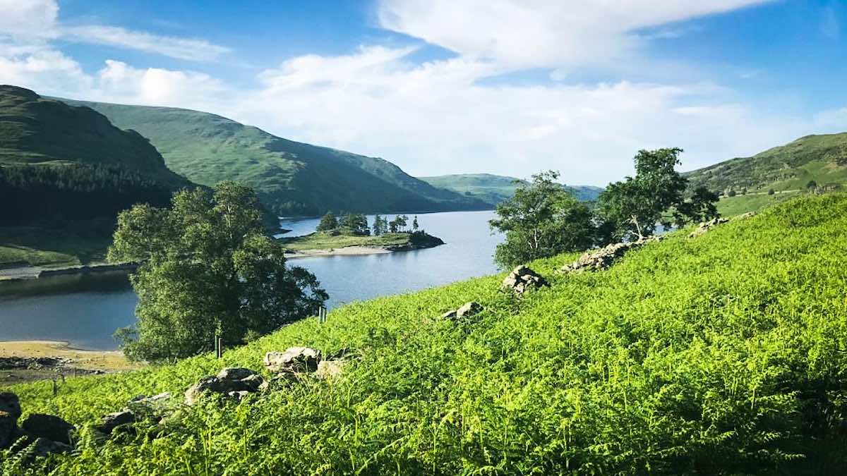
The Lake District provides the most mountainous and demanding part of the Coast to Coast, carrying the route from the Cumbrian coast into a landscape of deep valleys, high passes, mountain tarns and some of England’s finest fells. From Ennerdale and Borrowdale the trail crosses the central mountains to Grasmere and Patterdale before continuing above Haweswater towards the gentler limestone country beyond.
I have explored this landscape extensively both along the Coast to Coast itself and on related walks through the surrounding fells and valleys. The articles in this section follow the route through seven stages, while also venturing beyond the path to explore the mountains, archaeology, history, geology and natural features that give this remarkable landscape its character.
Explore the Lake District Stages
Each stage below opens a collection of illustrated articles exploring the landscapes, places and features encountered along the route and on related walks through the surrounding countryside. Follow them in order to travel eastwards through the Lake District, or choose a stage to explore in more detail.



Lake District Route Map
© 2026 Roy McKee · Coast to Coast
Contact - Privacy. - Terms


